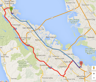
Increased availability of advanced aerial imagery+ geographic information system (GIS) mapping
I have a pleasure to recall that, High-resolution digital satellite aerial
imagery has gained popularity among government organizations, planners,
developers, and engineers.
In effect, the technology helps in real-estate management, land calculations,
mining operations, road planning, and small-scale mapping for most land
applications.
The information from aerial images, along with geographic information
system (GIS) mapping, is used for analysis, strategic planning, and evaluation
in engineering and urban planning.


